KT's Maps
Compilation of Maps for GIS3015 Map Analysis
Thursday, July 22, 2010
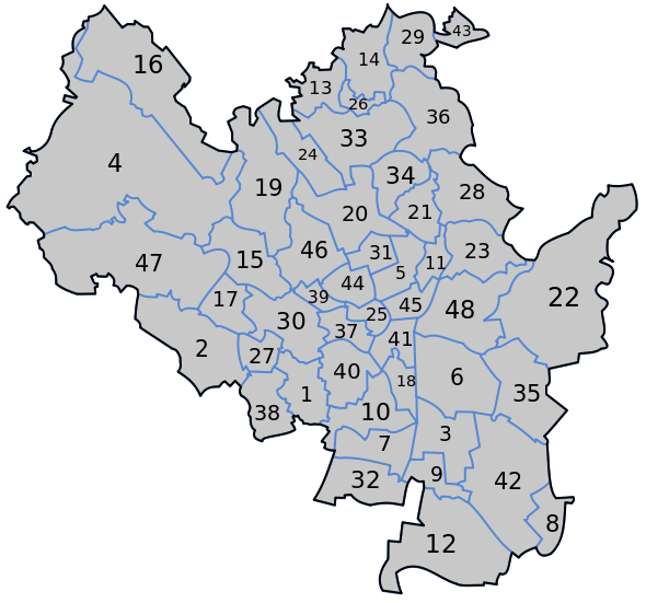
Cadastral Map
Source:
http://upload.wikimedia.org/wikipedia/commons/thumb/4/4d/Cadastral_map_of_Brno.svg/590px-Cadastral_map_of_Brno.svg.png
A Cadastral Map is a map in which metes and bounds are used to establish property lines. This is illustrated by defined areas usually portrayed with numbers signifying ownership or tenure. These can be residential, local, or national.
No comments:
Post a Comment
Newer Post
Older Post
Home
Subscribe to:
Post Comments (Atom)
No comments:
Post a Comment