Direct link to map: http://wxmaps.org/pix/trop2.12hr.png
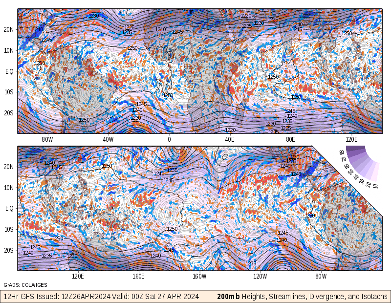
An isotach is a line on a weather map or chart connecting points where winds of equal speeds have been recorded. This map is 850mb Streamlines/Isotachs. It is demonstrating a 12 hour GFS forcast over the tropics.
No comments:
Post a Comment